Browser Strategy Games With Real-World Maps, Compared
Frontlines and CONQUEST ship 20 real-world maps between them. Which browser strategy games use real geography, and how real each map is.
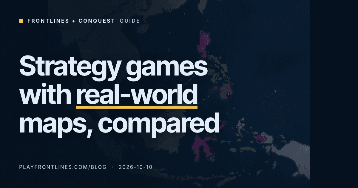
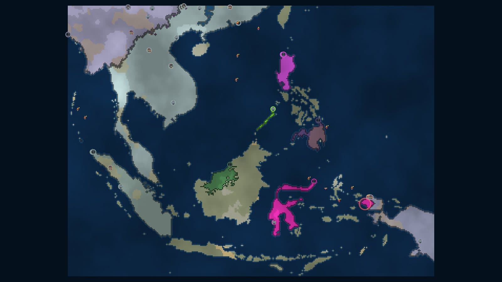
Frontlines and CONQUEST between them ship 20 distinct real-world maps: 15 in each game, with 10 regions that appear in both. Frontlines draws the real coastline and generates the terrain on top of it. CONQUEST keeps the real coastline and carves the land into 18 to 42 territories.
That is the part that decides which map you want. Whether it is "real" depends on what you need from it: a shape you recognize, or borders you can argue about.
Frontlines draws the real coast and invents the terrain
The Frontlines map data is a land and water mask. The file header says it is generated from Natural Earth data, which is public domain. Nothing in the mask marks a country border, so the game has no real-world countries to fight over: your nation spreads over land tiles and stops at water or at another nation.
Everything else on the land is made up. The generator in map.js lays synthetic elevation and moisture over the mask, turns the high spots into highlands, the dry spots into desert and runs rivers downhill from the highlands to the sea. Those features change with the match seed. The coastline never does.
Real seas still matter. A body of water counts as navigable if it touches the map edge or is larger than 300 tiles, so a real strait is a real ship route and a small lake is not.
Every real map is cut to roughly the same 90,000-tile grid, wherever it is in the world. That has a side effect nobody sees in the map picker: how much land you get depends on how much sea the region contains. We ran the map generator on all 15 with a fixed seed.
| Map | Multiplayer | Grid | Land tiles | Land share |
|---|---|---|---|---|
| Strait of Hormuz | solo only | 368 x 245 | 71,980 | 79.8% |
| Eurasia | yes | 395 x 228 | 60,006 | 66.6% |
| Vietnam & Indochina | solo only | 277 x 325 | 52,999 | 58.9% |
| Europe | yes | 291 x 310 | 52,218 | 57.9% |
| Asia | yes | 375 x 240 | 52,206 | 58.0% |
| Africa | yes | 294 x 306 | 51,116 | 56.8% |
| USA | yes | 407 x 221 | 47,779 | 53.1% |
| Russia | yes | 435 x 207 | 45,685 | 50.7% |
| Germany | solo only | 270 x 333 | 43,764 | 48.7% |
| South America | yes | 241 x 373 | 42,105 | 46.8% |
| North America | yes | 344 x 261 | 34,013 | 37.9% |
| World | yes | 469 x 192 | 26,757 | 29.7% |
| Australia & Oceania | solo only | 365 x 247 | 25,106 | 27.8% |
| Americas | solo only | 303 x 297 | 23,997 | 26.7% |
| Southeast Asia | solo only | 349 x 258 | 21,581 | 24.0% |
Normal size, one fixed seed, rivers excluded from the land count, so a different seed moves each figure by a few tiles. The multiplayer column is the list the game server accepts for rooms. Pangaea and Twin Continents are the two procedural maps on that list.
If you want to know what to do with a map once you have picked it, what to build first in Frontlines covers the opening on any of them.
CONQUEST keeps the coast and carves the land into territories
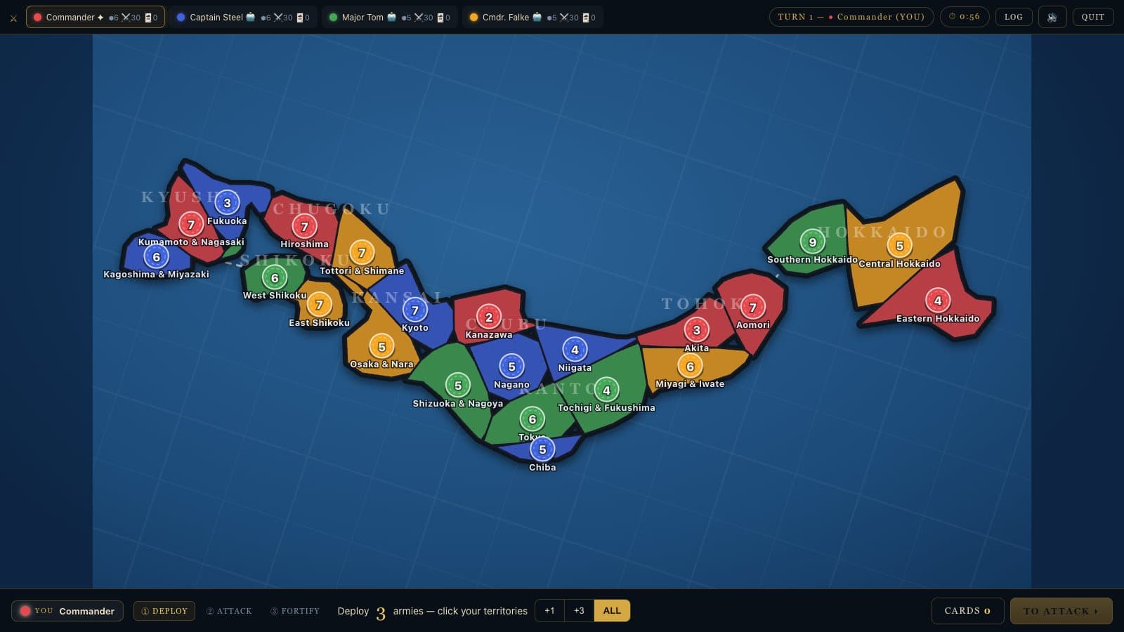
CONQUEST is turn-based and RISK-style, so a map has to be a graph of territories. The geometry file says how it gets there: each map projects real landmasses (or US state shapes) onto the canvas, then divides the land into territories with a Voronoi diagram around lon and lat seed points. The comment in the code puts it as real coastlines and stylized interior borders, the same trick as a printed board.
You can see it in the Japan screenshot below. Kyushu, Shikoku and Hokkaido are in the right place, and the territories inside them are polygons.
The size of a map is the number of territories, and the bonuses come with the regions. We read all 15 map files:
| Map | Territories | Regions | Highest bonus |
|---|---|---|---|
| World Classic | 42 | 6 | Asia 7 |
| USA | 39 | 7 | Midwest 4 |
| Russia | 32 | 7 | Siberia 4 |
| China | 31 | 7 | East 4 |
| Asia | 30 | 6 | East Asia 5 |
| Africa | 28 | 5 | West Africa 4 |
| Europe | 27 | 6 | Eastern Europe 4 |
| Middle East | 27 | 6 | Persia 4 |
| North America | 27 | 6 | The North 3 |
| Japan | 22 | 8 | Tohoku 3 |
| Oceania | 19 | 6 | Western Australia 3 |
| British Isles | 18 | 5 | Scotland 3 |
| Germany | 18 | 5 | Norden 3 |
| Nordics | 18 | 5 | Norway 3 |
| South America | 18 | 5 | Brazilian Coast 4 |
World Classic is the one built on purpose to look familiar. The note in its map file calls it the traditional 42-territory, 6-continent layout on real Earth. CONQUEST is not affiliated with Hasbro, but if you know the board game, that is the map you know. Which continent to take first on it works through its bonuses.
Ten regions are in both games and ten are in one
If you only care about the place, this is the lookup.
| Region | Frontlines | CONQUEST |
|---|---|---|
| World | World | World Classic |
| Europe | Europe | Europe |
| Asia | Asia | Asia |
| Africa | Africa | Africa |
| North America | North America | North America |
| South America | South America | South America |
| USA | USA | USA |
| Russia | Russia | Russia |
| Germany | Germany | Germany |
| Oceania | Australia & Oceania | Oceania |
Only in Frontlines: Southeast Asia, Americas, Eurasia, Vietnam & Indochina and Strait of Hormuz. Only in CONQUEST: British Isles, China, Japan, Middle East and Nordics. So a Japan or Nordics game is a CONQUEST game, and a Hormuz, Eurasia or Vietnam game is a Frontlines one.
The same region plays very differently in the two games. Frontlines gives you thousands of land tiles to expand across in real time. CONQUEST gives you 18 to 42 territories to fight over in turns. Real-time or turn-based goes through that choice.
Other browser games that use real geography
We make both games above, so this section only reports what each game's own site or repository says, checked for this page. We did not play them for it.
| Game | Style | What its own page says |
|---|---|---|
| OpenFront | Real-time | README: "various maps based on real-world geography". Its resources/maps folder lists 132 map folders, including world, europe, asia, africa, japan and straitofhormuz next to fantasy ones such as mars and luna. Open source |
| territorial.io | Real-time | No map page. The game's own client script names World 1, World 2, Europe, Africa, Asia, North America, South America, Middle East, Scandinavia, Caucasia, Australia and British Isles, next to abstract maps such as Island and Desert |
| Warzone | Turn-based | Its wiki lists an Earth map by Grundie with 153 territories and 27 bonuses, split by real continents and regions |
| Rivok | Real-time | "Real-time conquest battles for up to 100 players ... on a real world map." Free in the browser, with a login |
Two caveats. OpenFront's folder count includes tournament maps (tourney1 to tourney4) and fantasy ones, and we did not check which are in the public rotation. territorial.io's names come from its client file, not from a published list, so the live selection may differ.
Where those games win is the part we cannot match. OpenFront has a far larger map library than our 20, going by its folder count, and territorial.io and OpenFront have far more people online than our lobbies do. If you want a real-world map with a crowd on it, they are the first place to look. Our Frontlines alternatives page and the CONQUEST one say the same thing in more detail.
How to pick a map for tonight
| You want | Open | Map |
|---|---|---|
| A real strait with sea routes, solo | Frontlines | Strait of Hormuz or Southeast Asia |
| The most land to expand across | Frontlines | Eurasia or Europe |
| Recognizable borders and bonuses | CONQUEST | World Classic |
| A short, small board | CONQUEST | British Isles, Germany or Nordics, 18 territories each |
| A real-world map in a friends room | either | Room setup guide |
| The widest choice of maps | OpenFront | 132 folders in its repository |
One practical limit: if you plan to play Frontlines with friends, check the multiplayer column in the table above first. Six of the 15 real maps, including Germany and the Strait of Hormuz, are solo only.
The numbers on this page come from src/map.js, src/maps_data.js and server/server.js in the Frontlines code, and from maps/*.js and shared/geometry.js in the CONQUEST code. The script that produced the tables is scripts/research/real-world-maps.mjs in the blog repository.
More from the blog.
Real-Time or Turn-Based: Frontlines vs CONQUEST
Frontlines runs on a 45-minute clock. CONQUEST waits for your turn: a 4-player World game took a median 27 rounds. Which one to play tonight.
Oct 07, 2026 · 5 min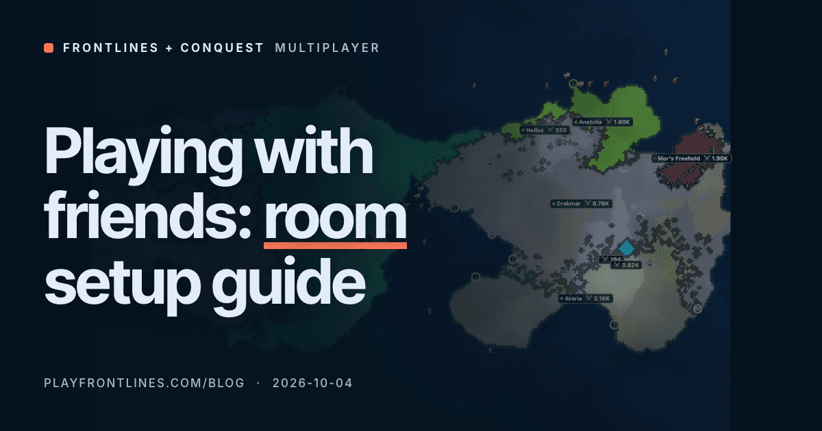
Frontlines or CONQUEST With Friends: Room Setup Guide
Frontlines rooms start 25 seconds after the first player joins. CONQUEST seats 2 to 6. How to set up a game for your group, and what trips people up.
Oct 04, 2026 · 7 min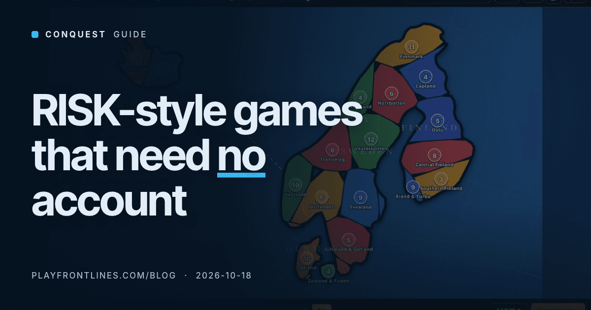
RISK-Style Browser Games: Which Need No Account?
Five RISK-style games you can play online, checked on their own sites: who asks for an account, who has bots, and how long a 2-player game runs.
Oct 18, 2026 · 5 min